AFTER THE STORM
These images were taken on the 1 year mark and 2 year mark of the catastrophic March 3, 2020 tornado that tore 60 miles across Middle Tennessee.
-
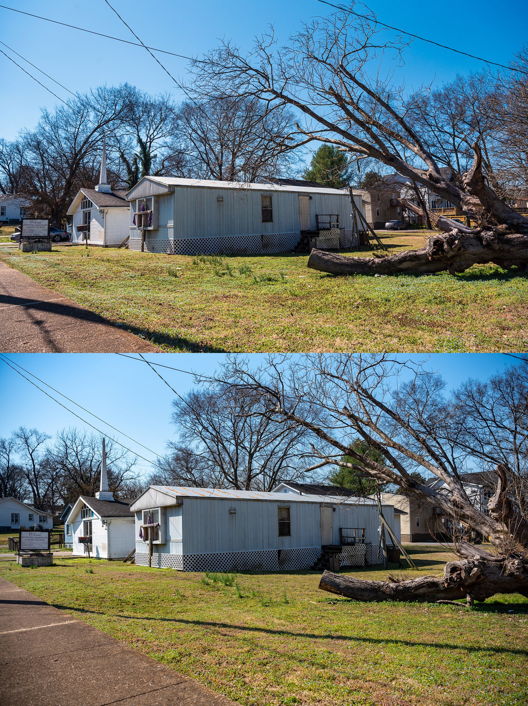
On March 3, 2020 a catastrophic EF-3 tornado tore across Middle Tennessee. Causing loss of life and major destruction to Nashville and it’s neighbors. At the time, I was living in Germantown and was awoken by the sounds and paparazzi lighting from the storm. My fiancé, cat and I took shelter with our neighbors in the innermost area of our building and waited the storm out. Fortunately our building was spared but the nearby communities of North Nashville, Bordeaux and East Nashville were devastated. I will never forget the outpouring of aid and support that immediately followed. Countless people came out to volunteer their services and donate their resources. Some parts of Middle Tennessee haven’t recovered or are still in recovery today.
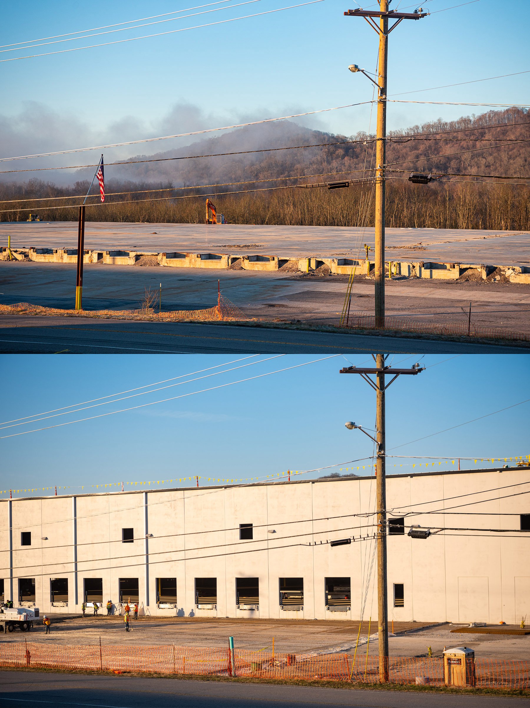
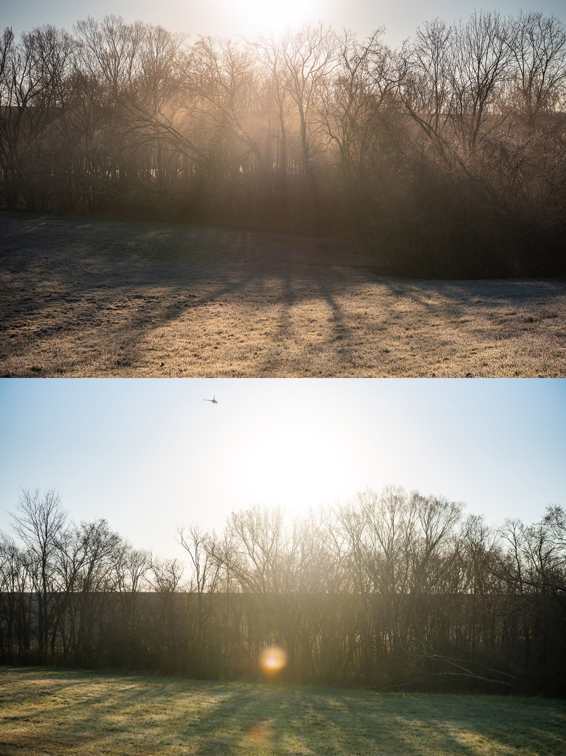
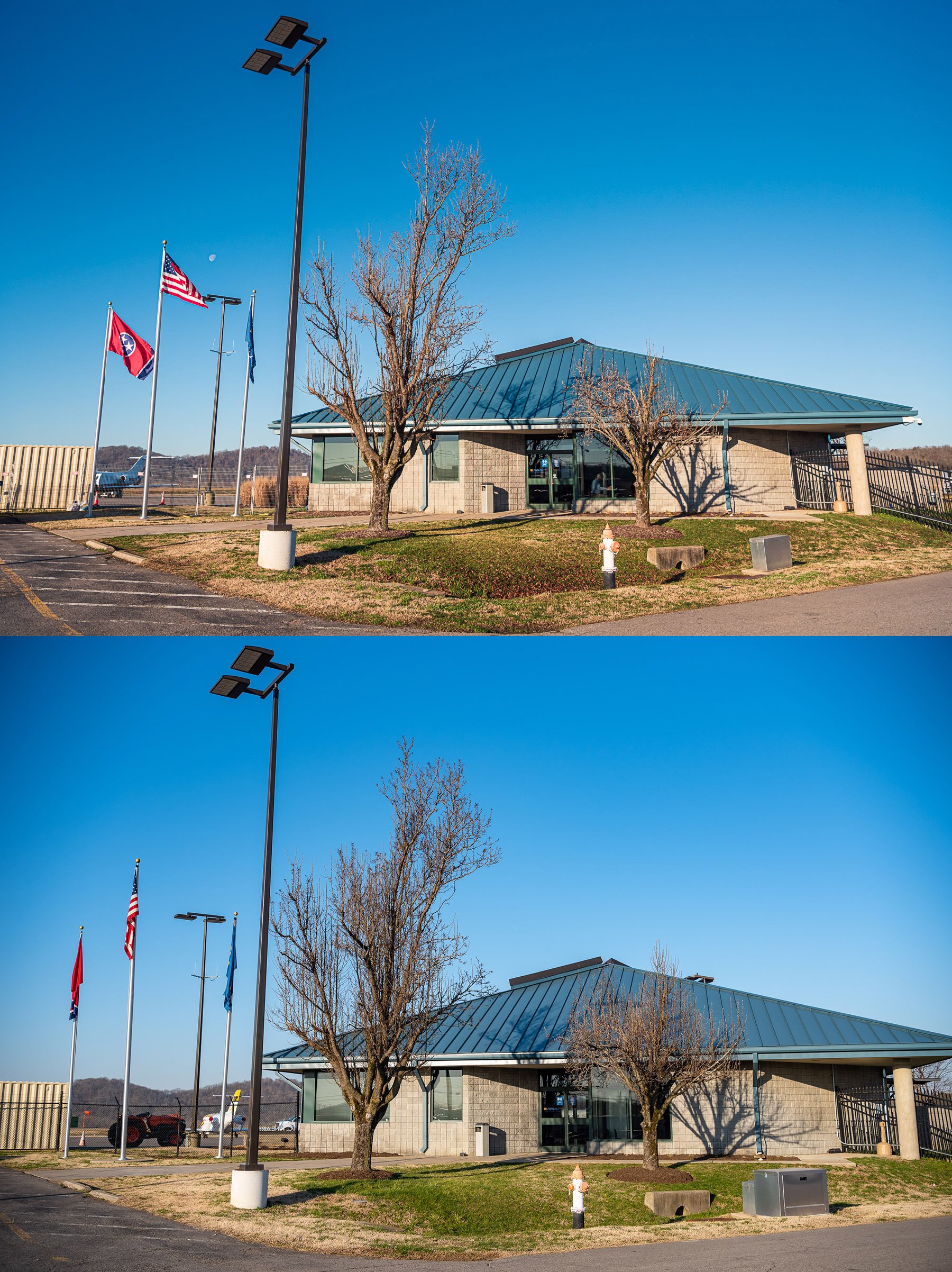
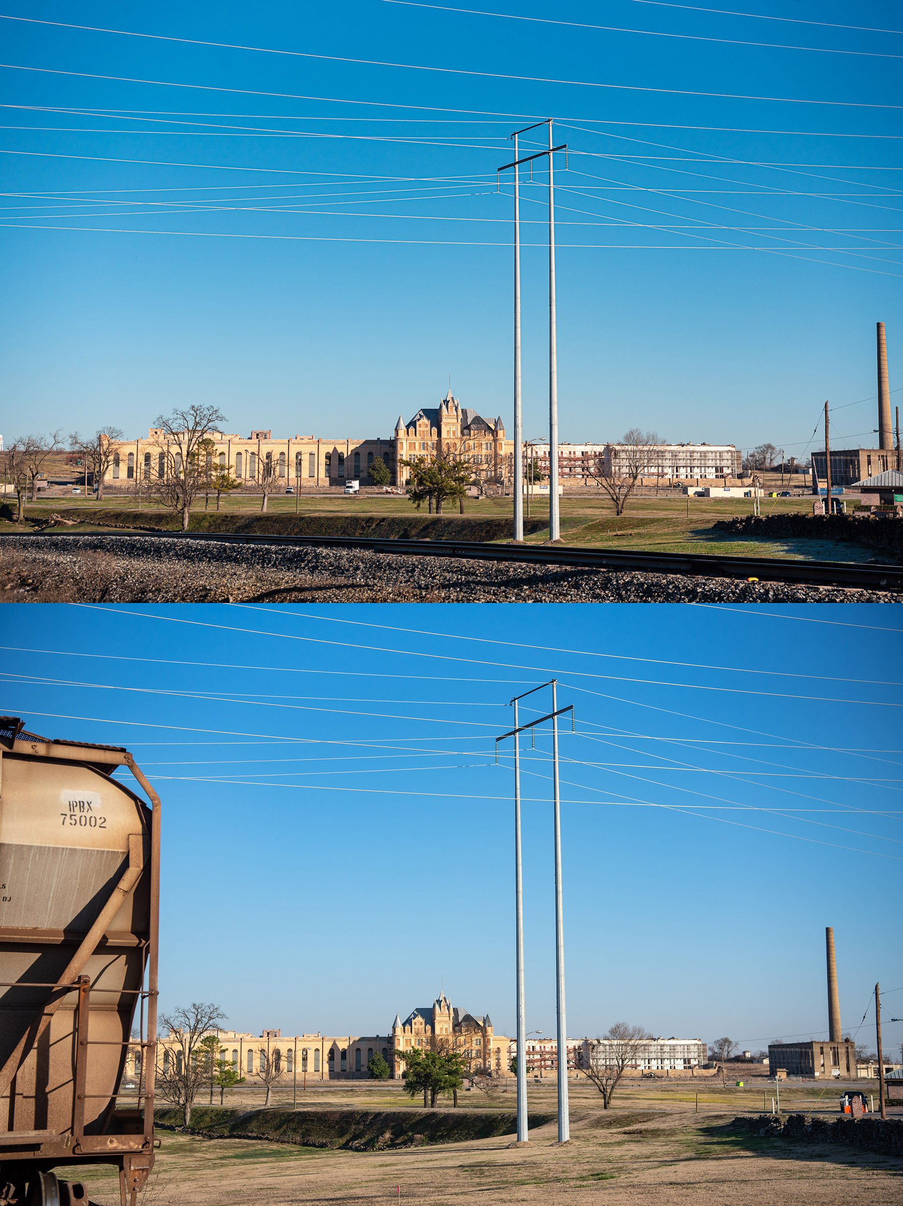
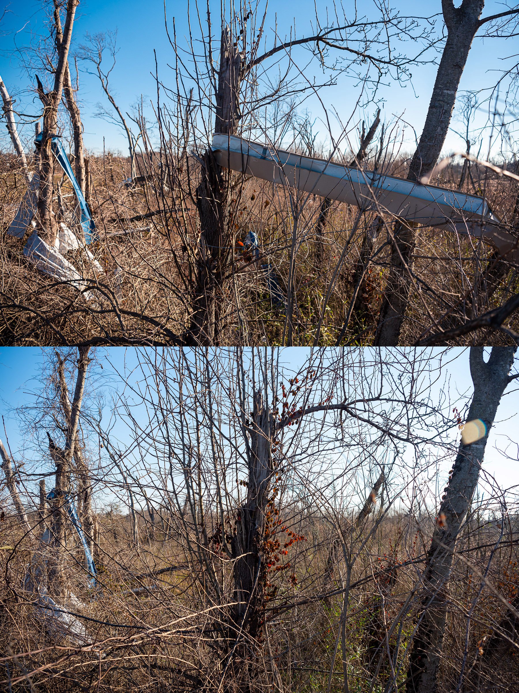
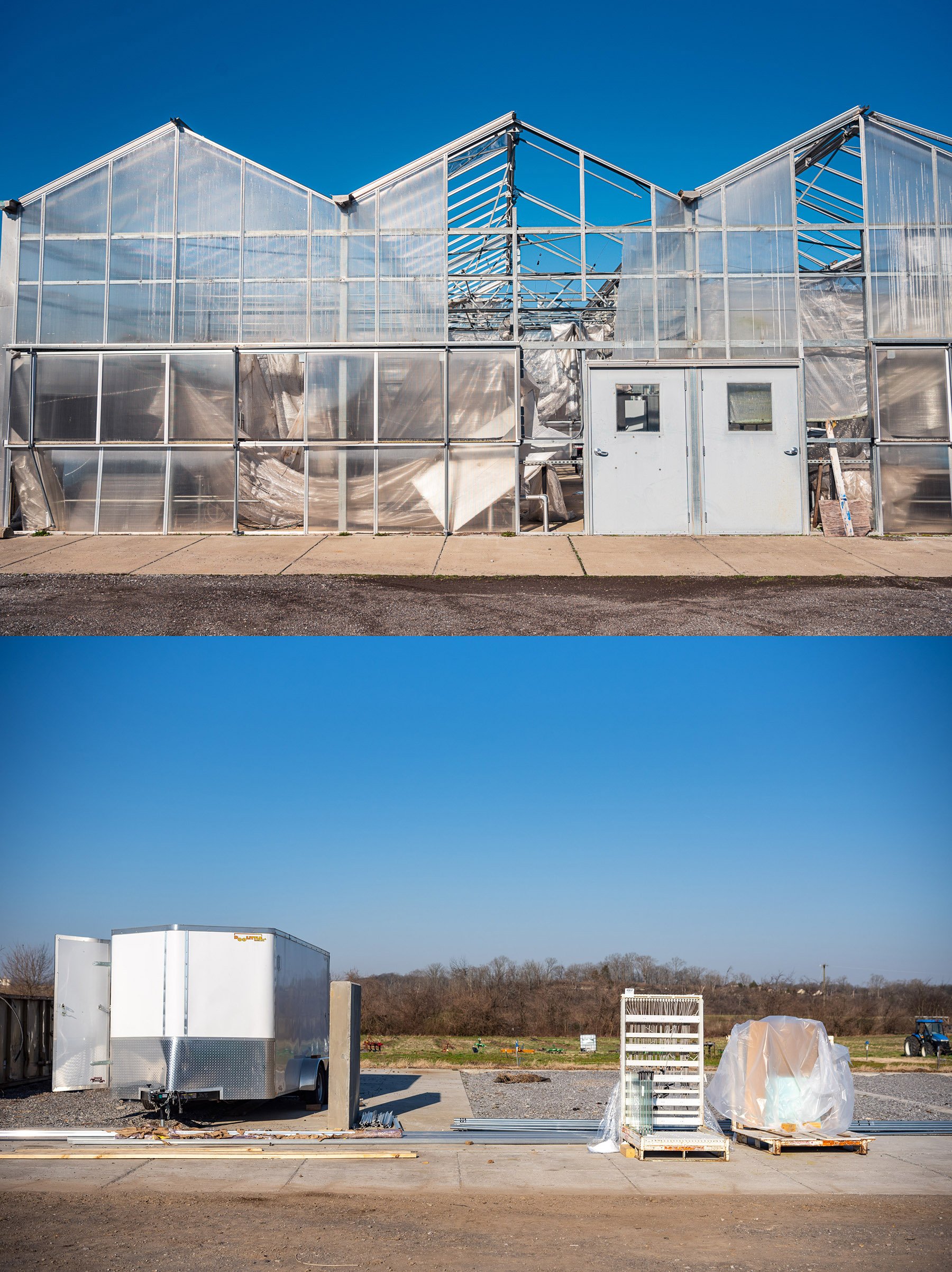
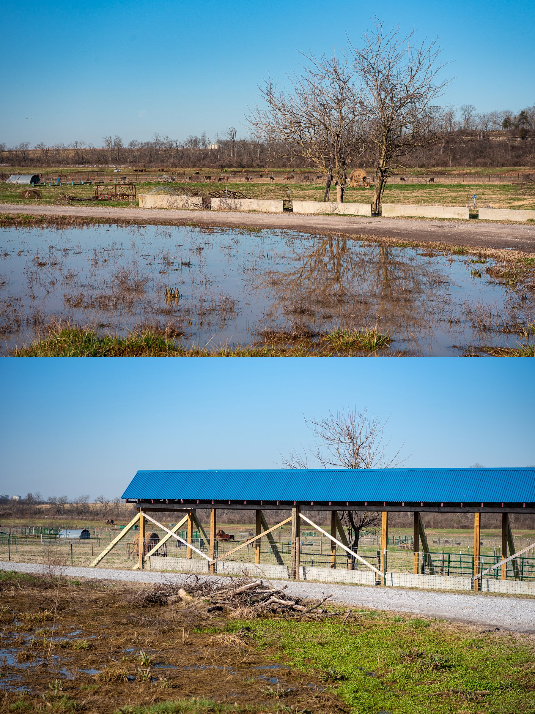
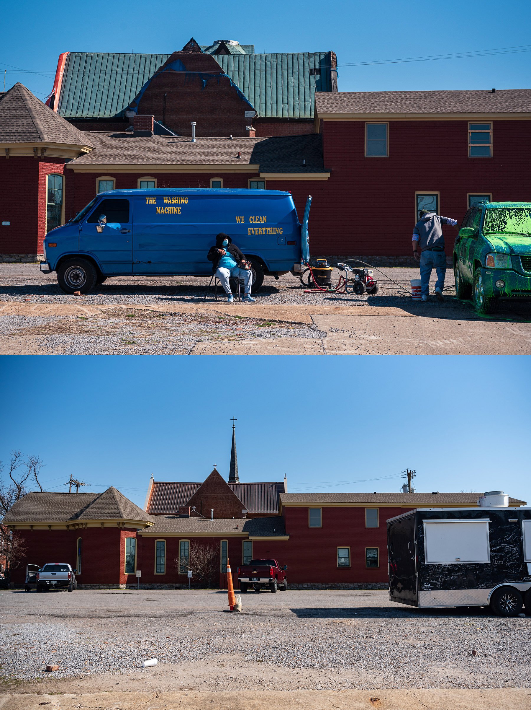
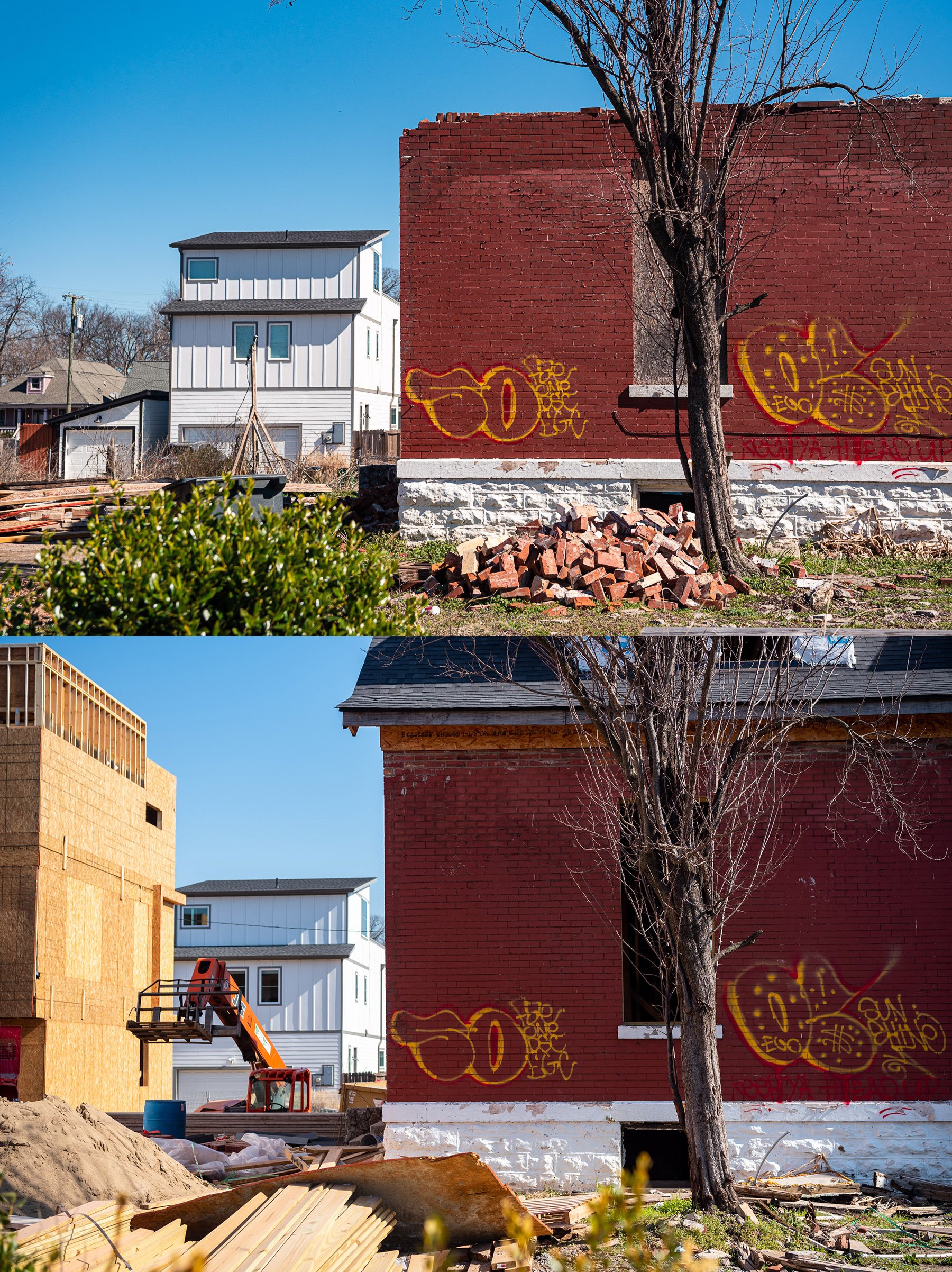
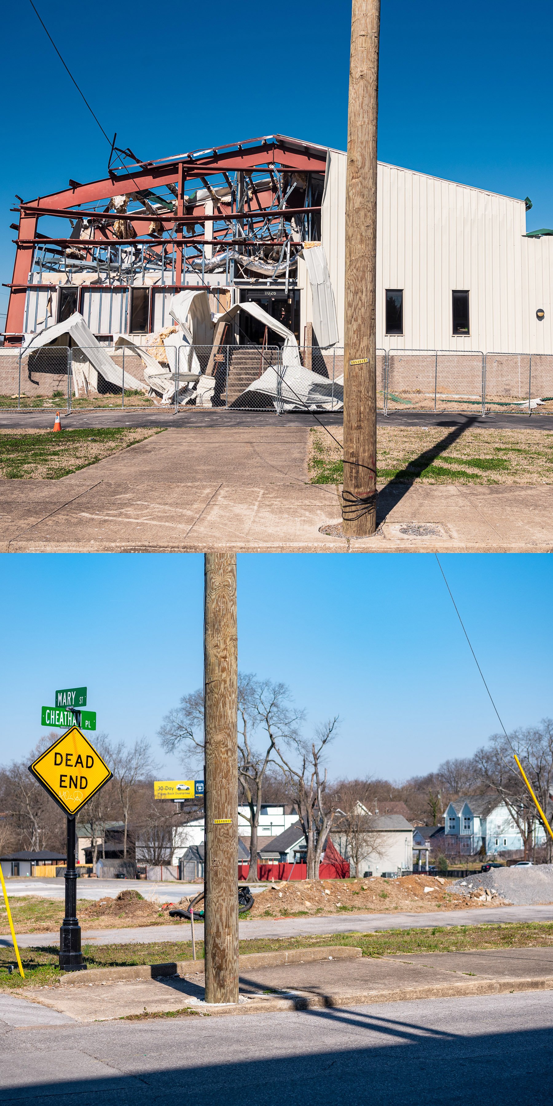
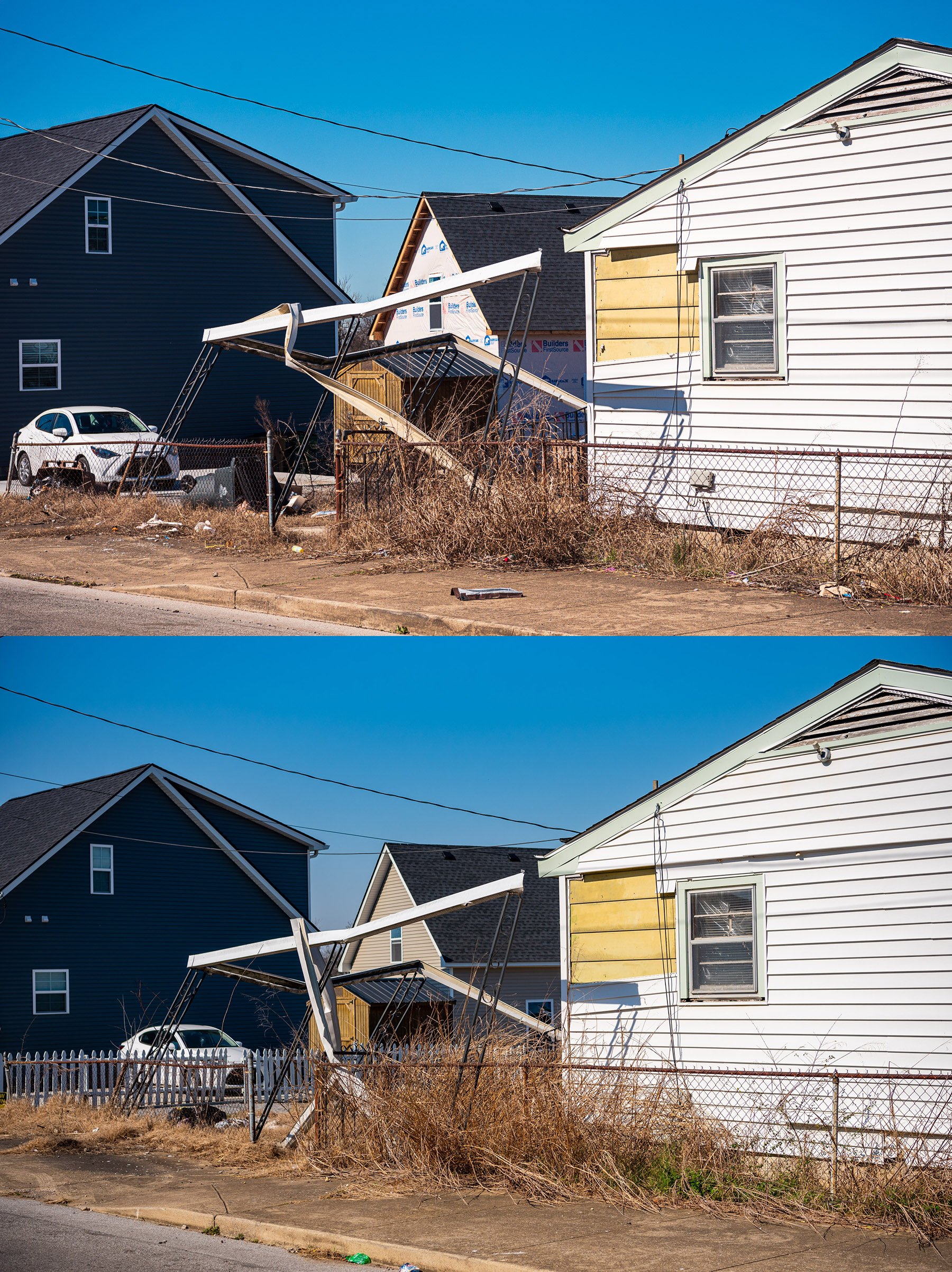
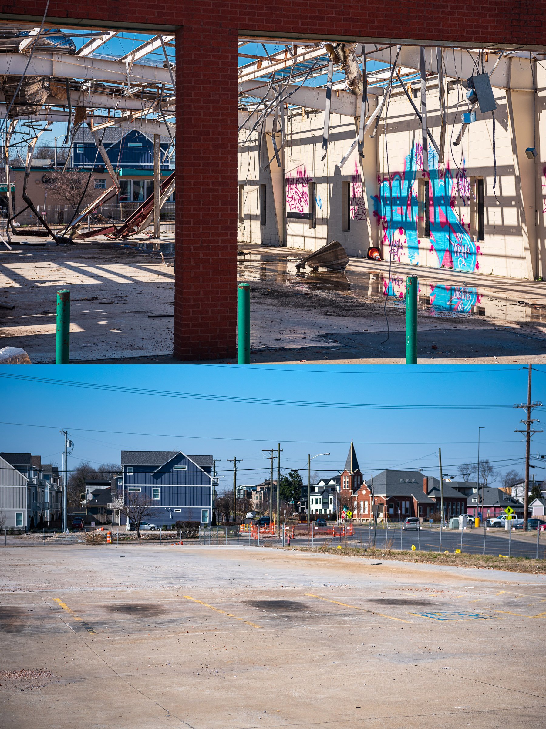
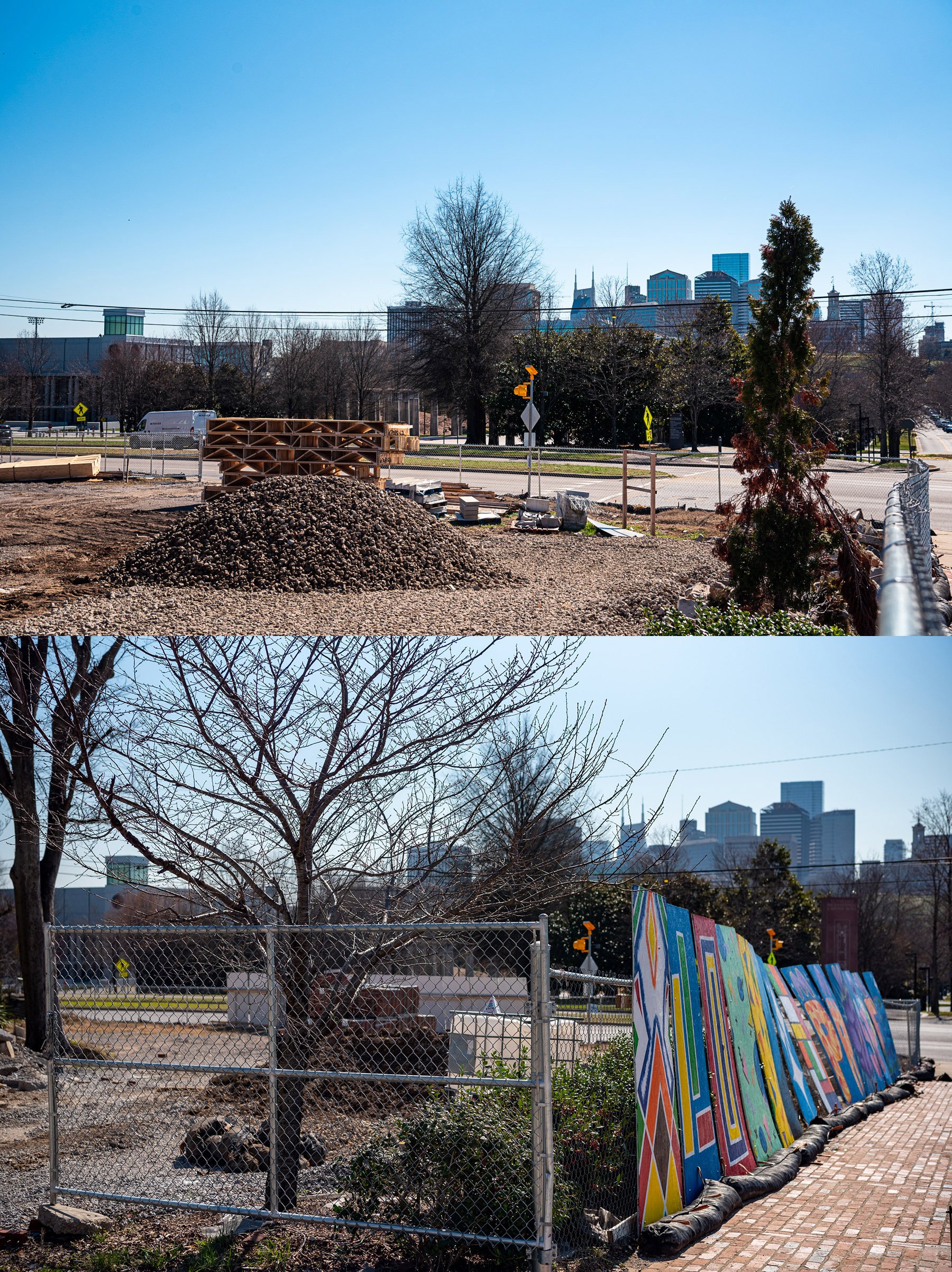
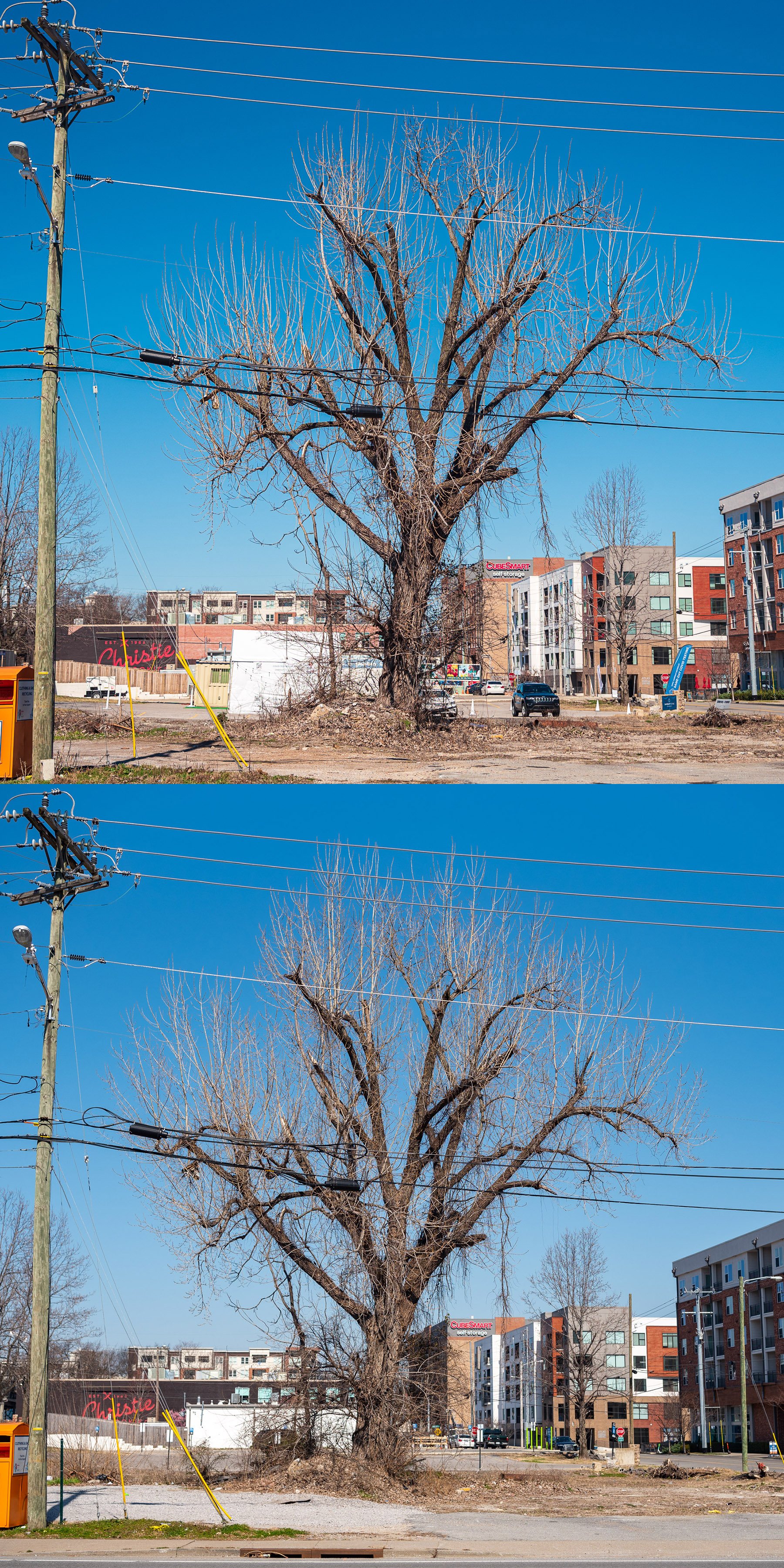
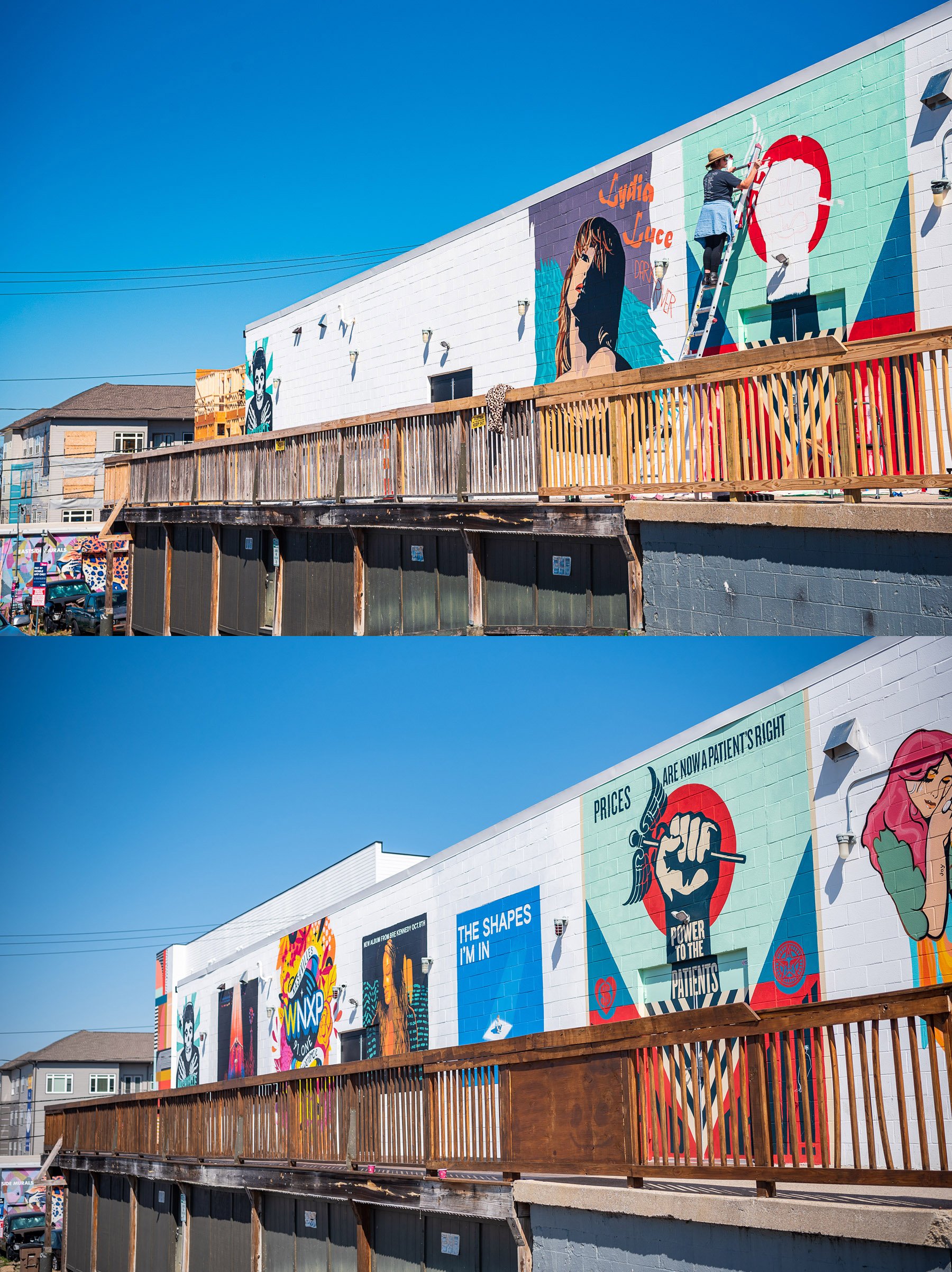
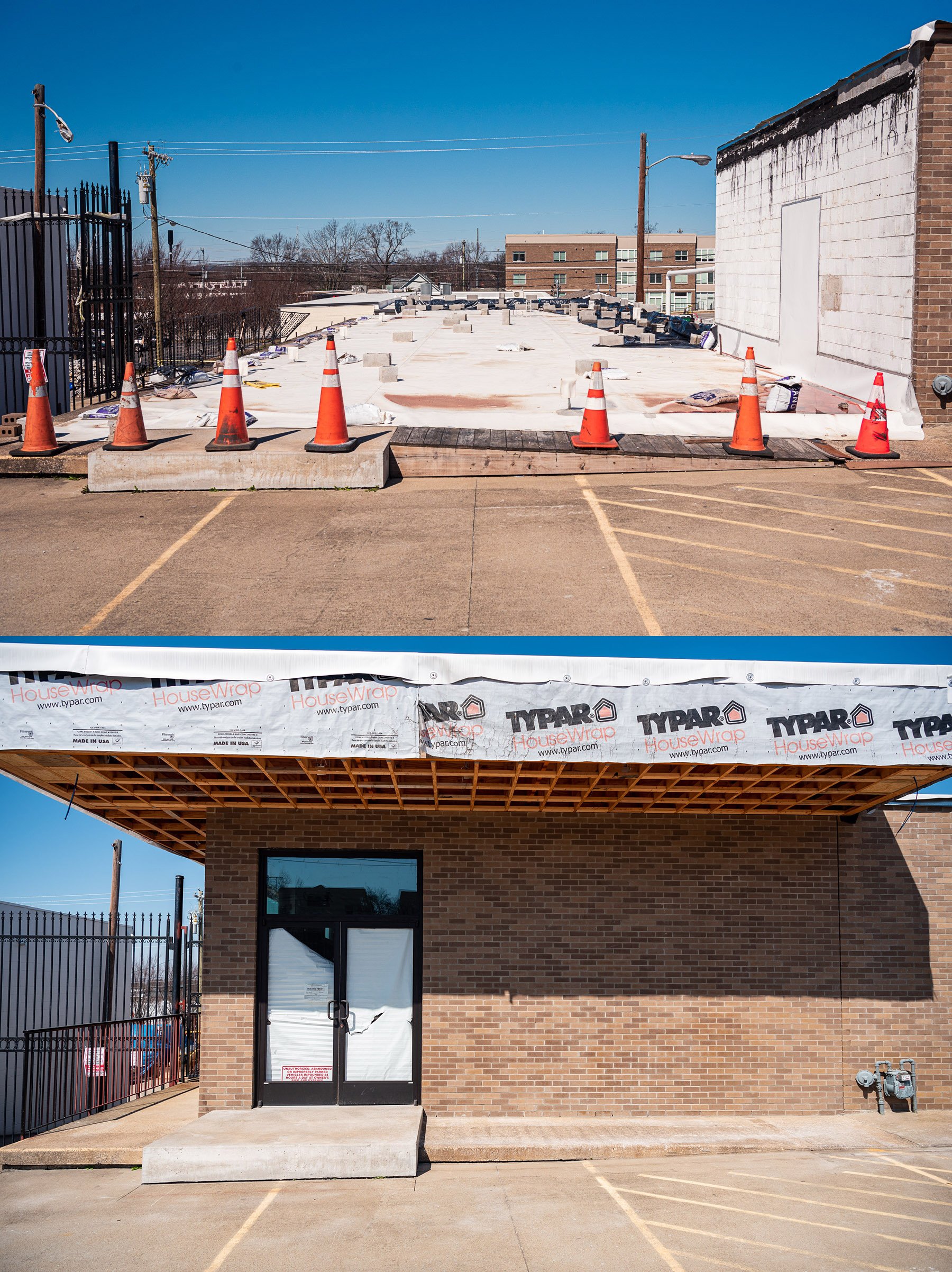
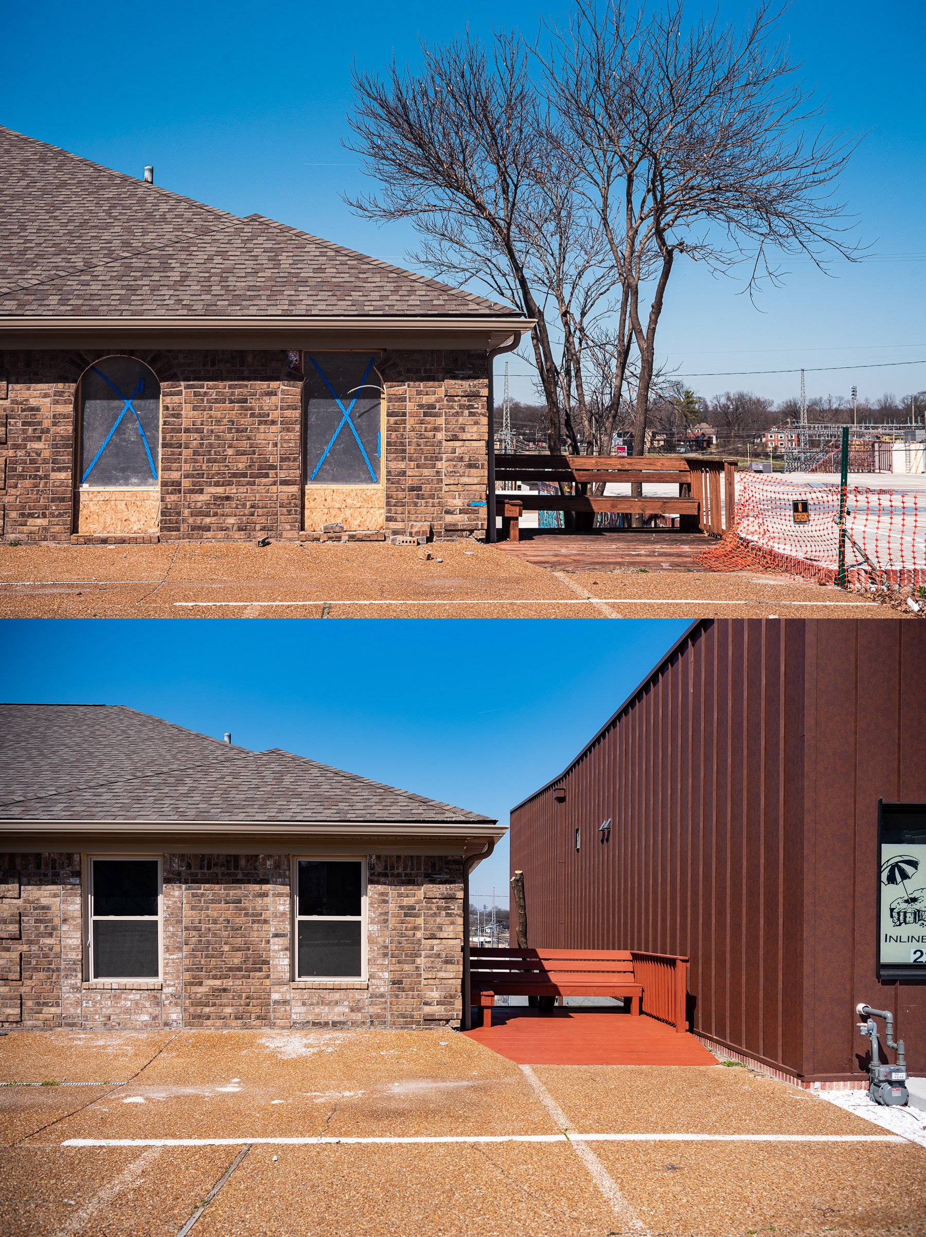
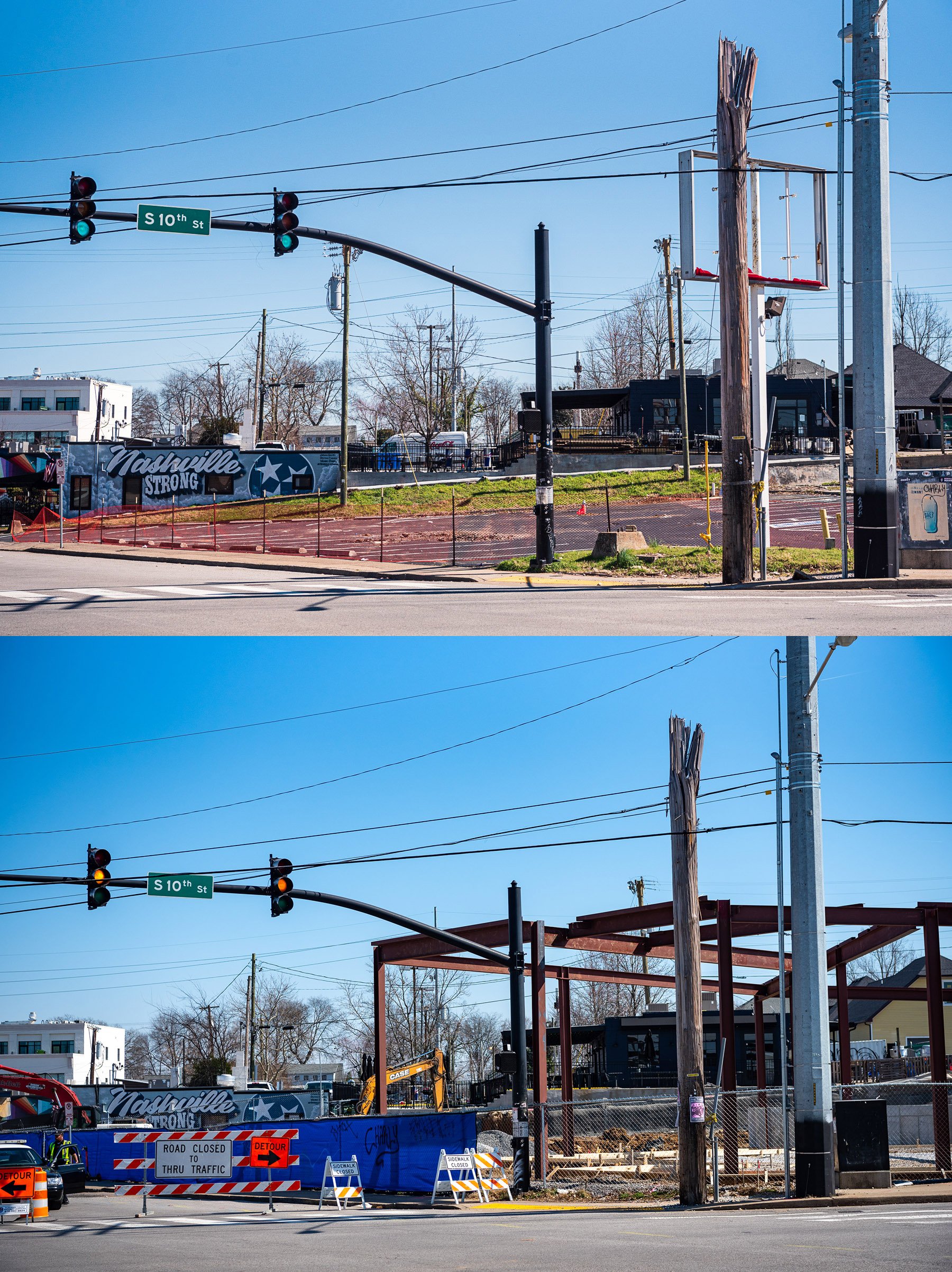
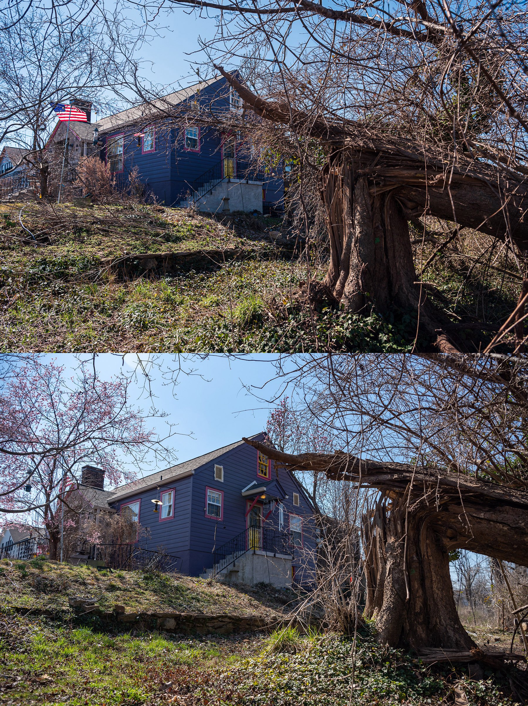
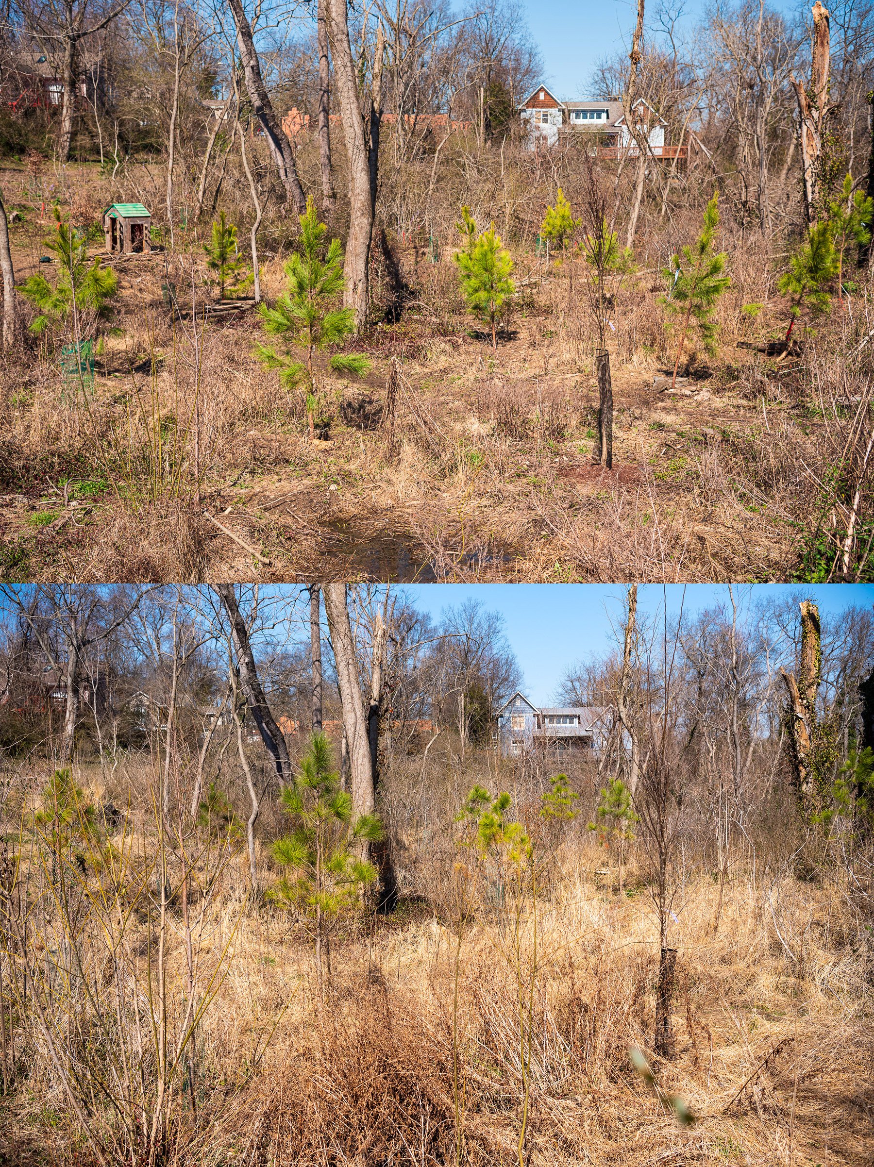
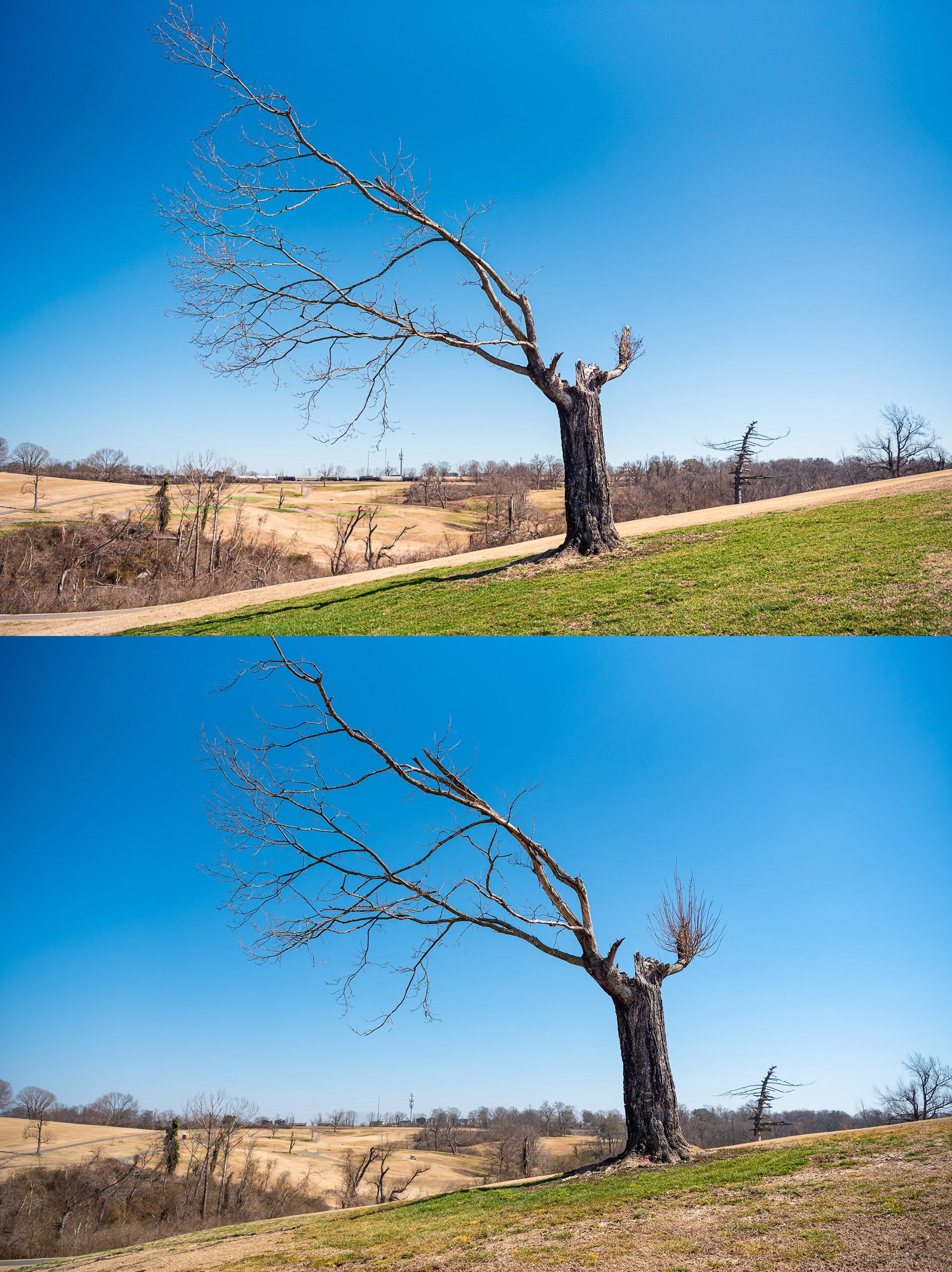
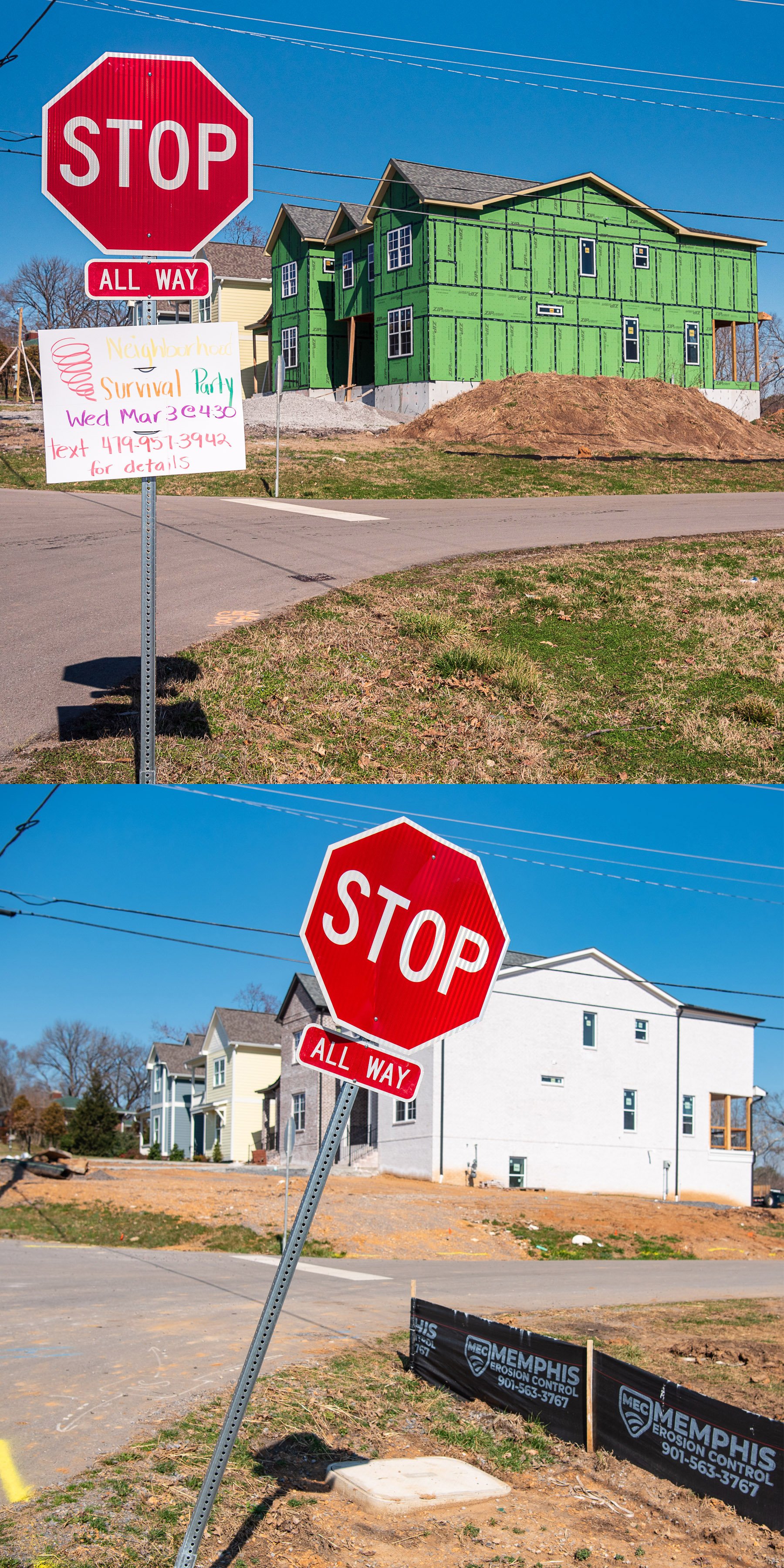
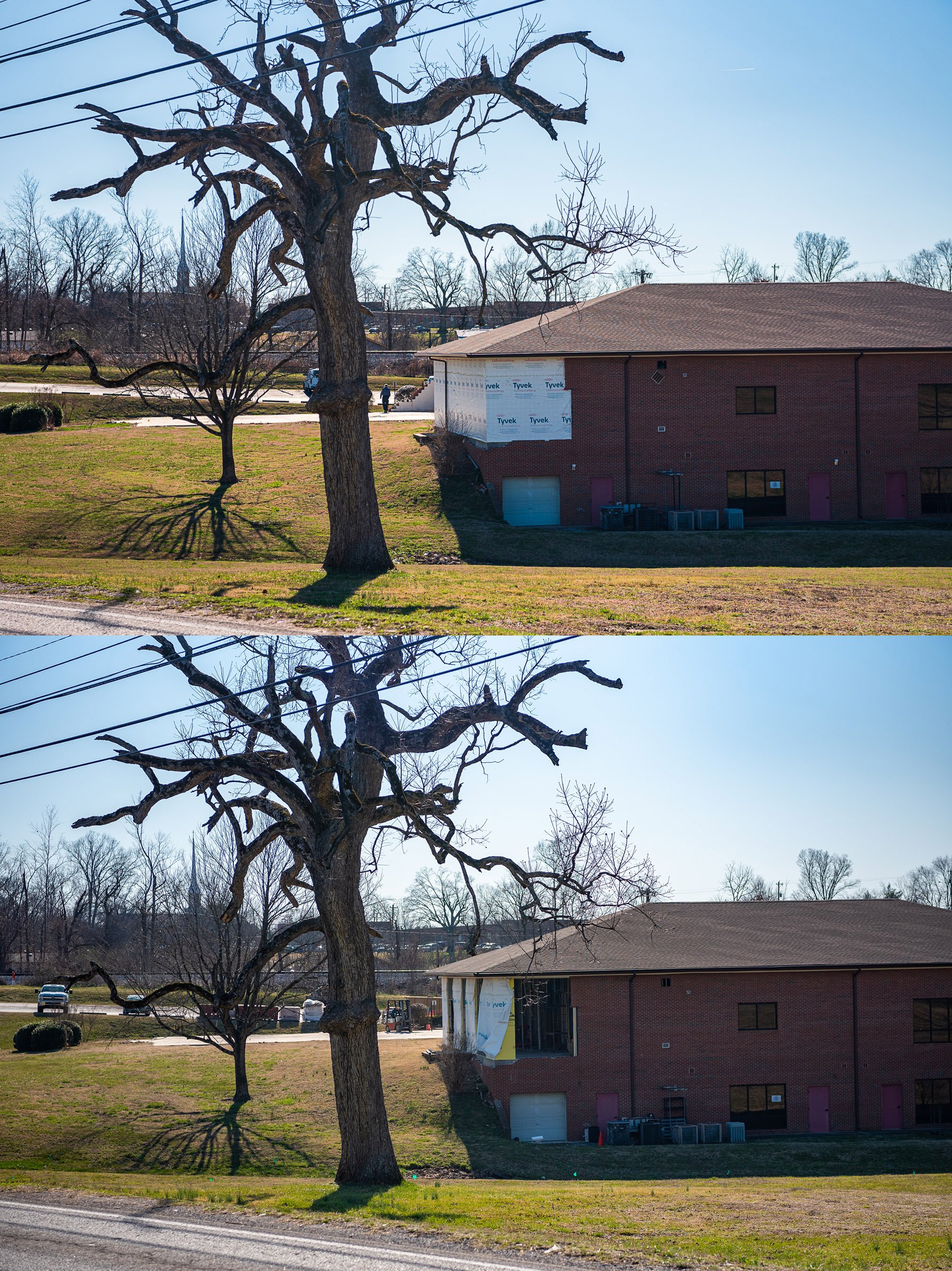
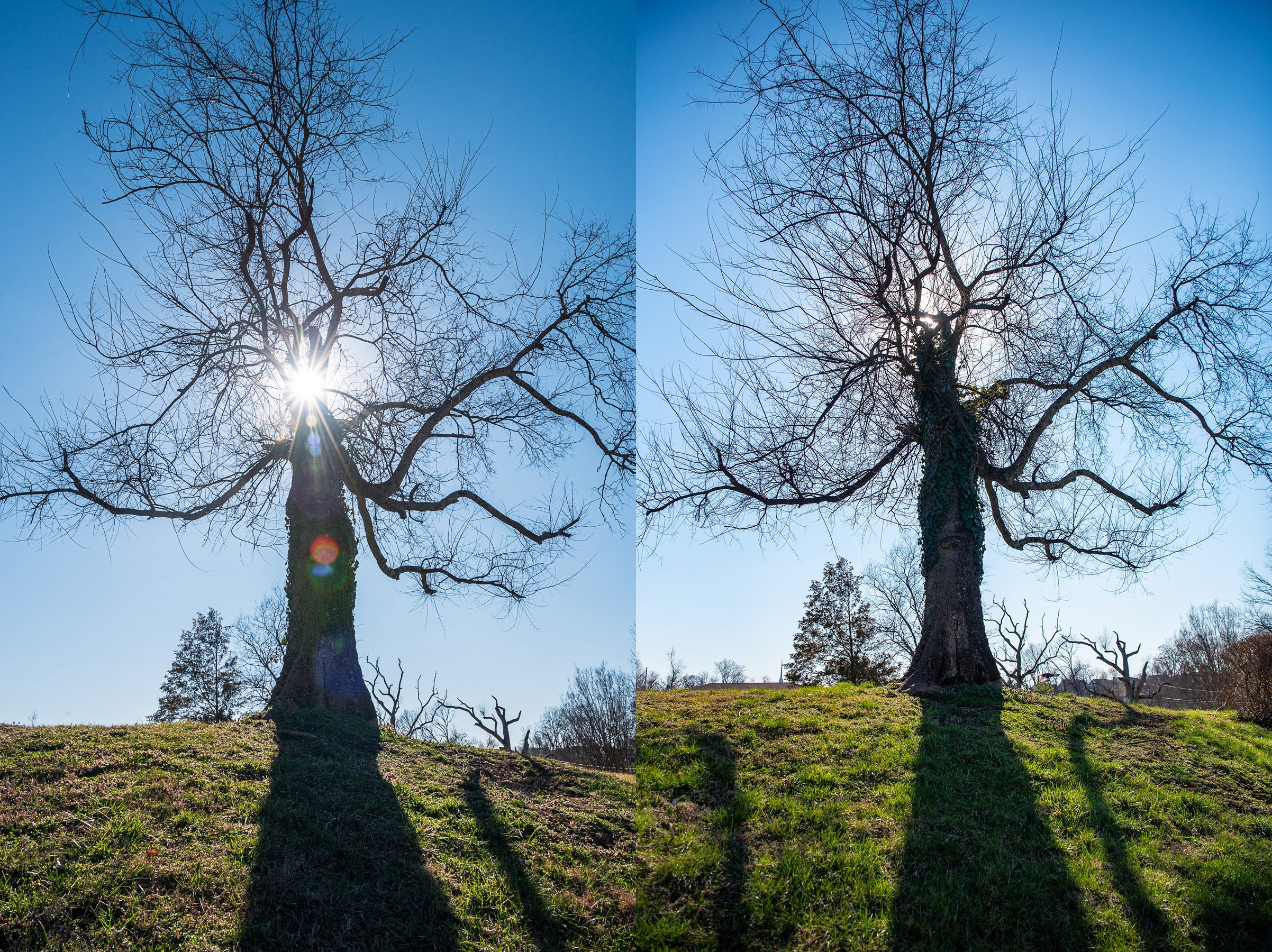
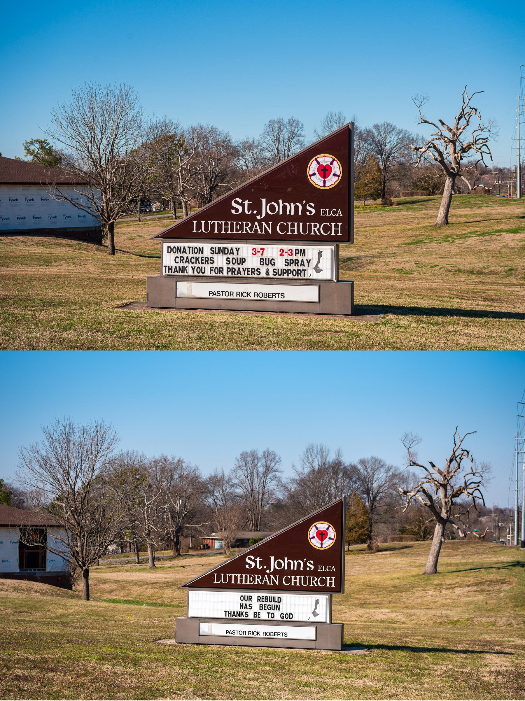
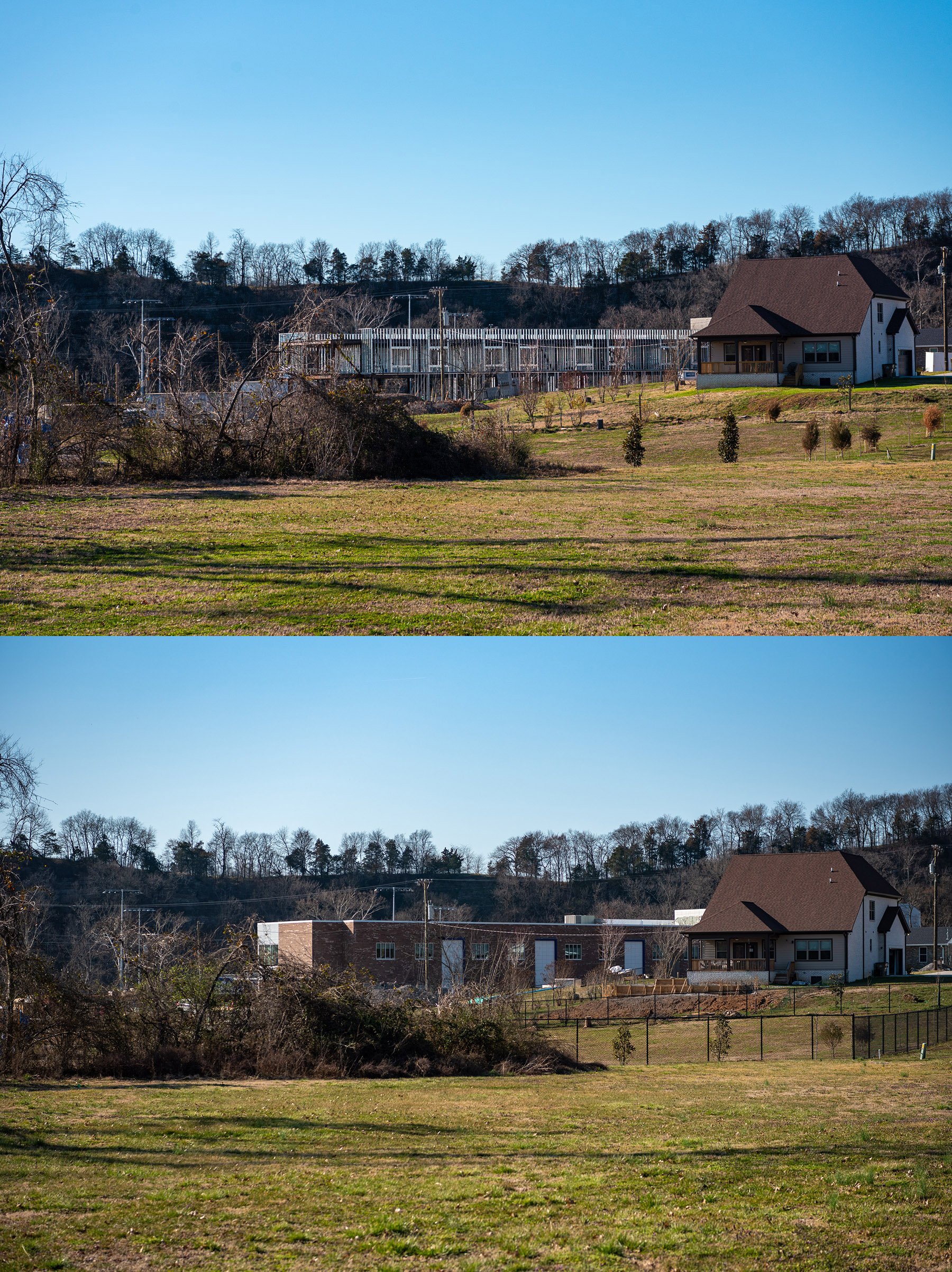
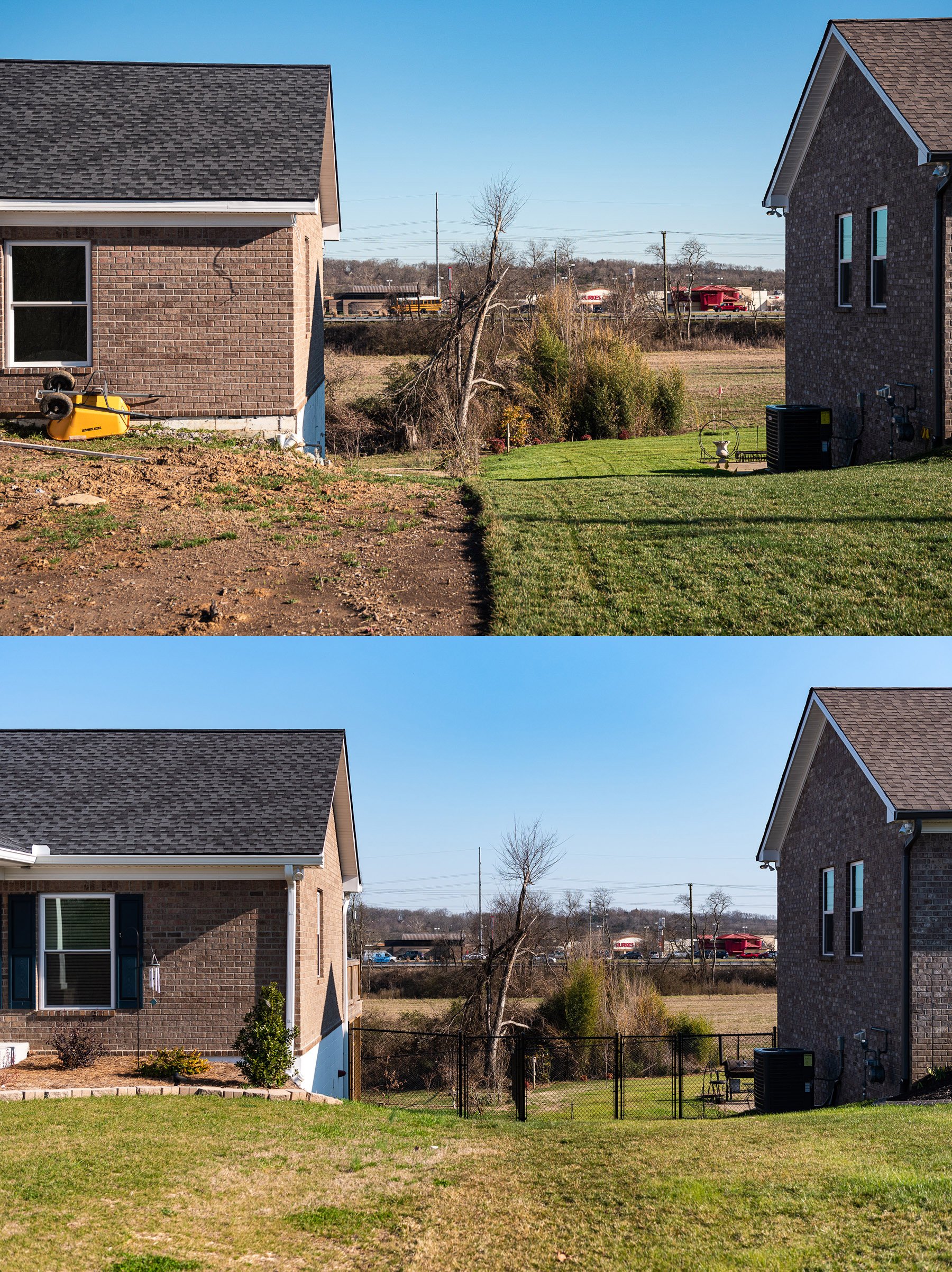
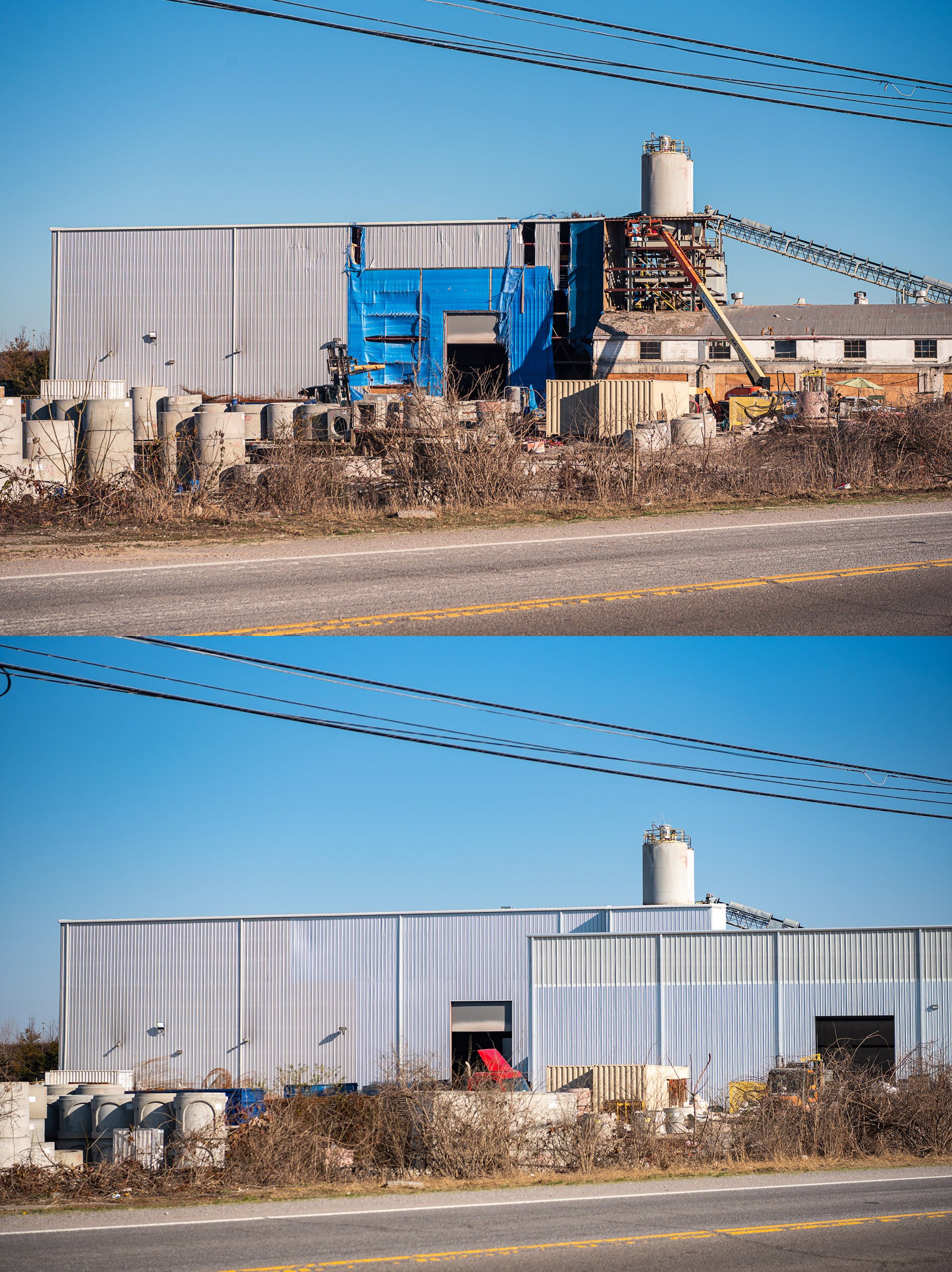
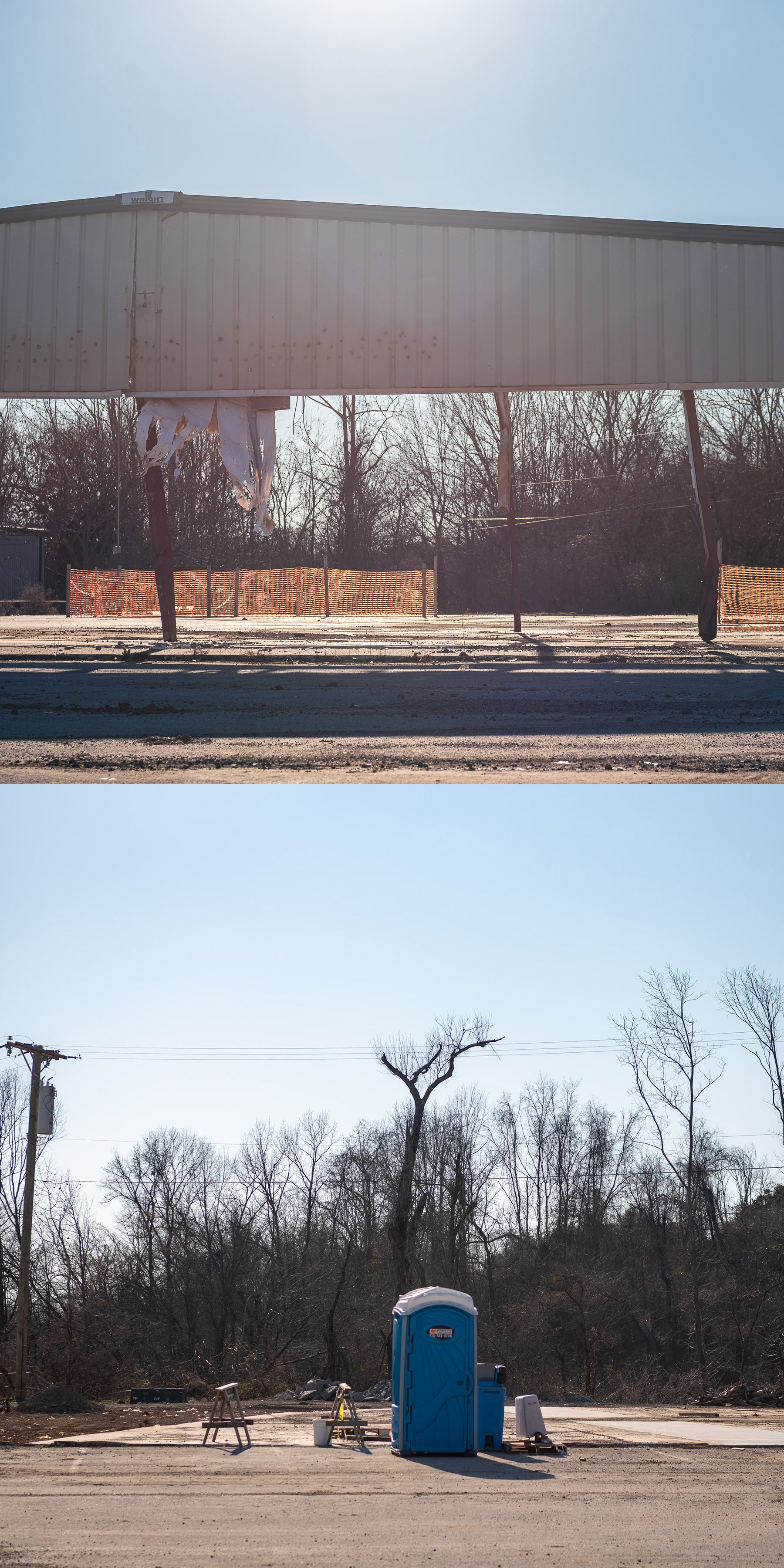
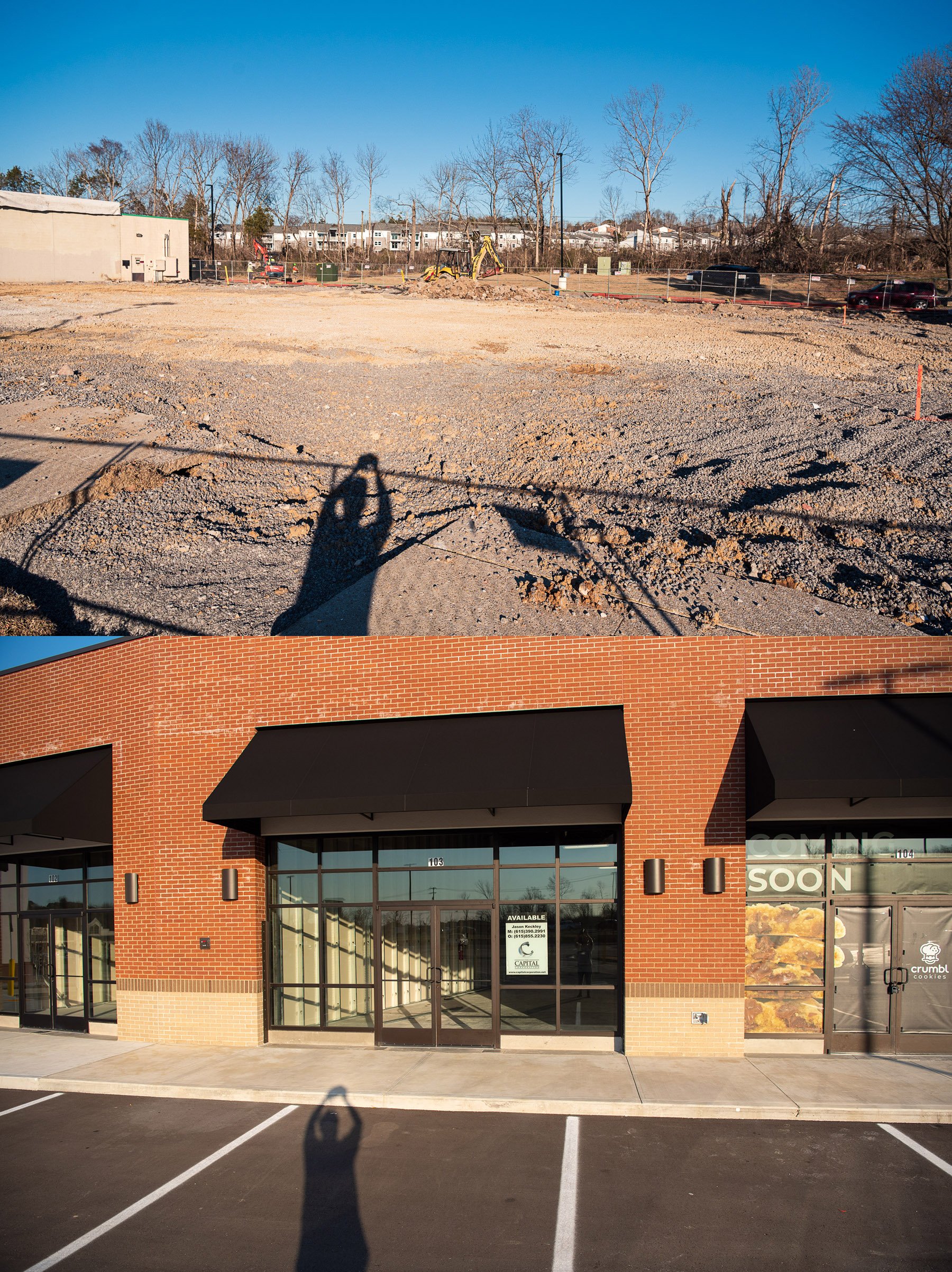
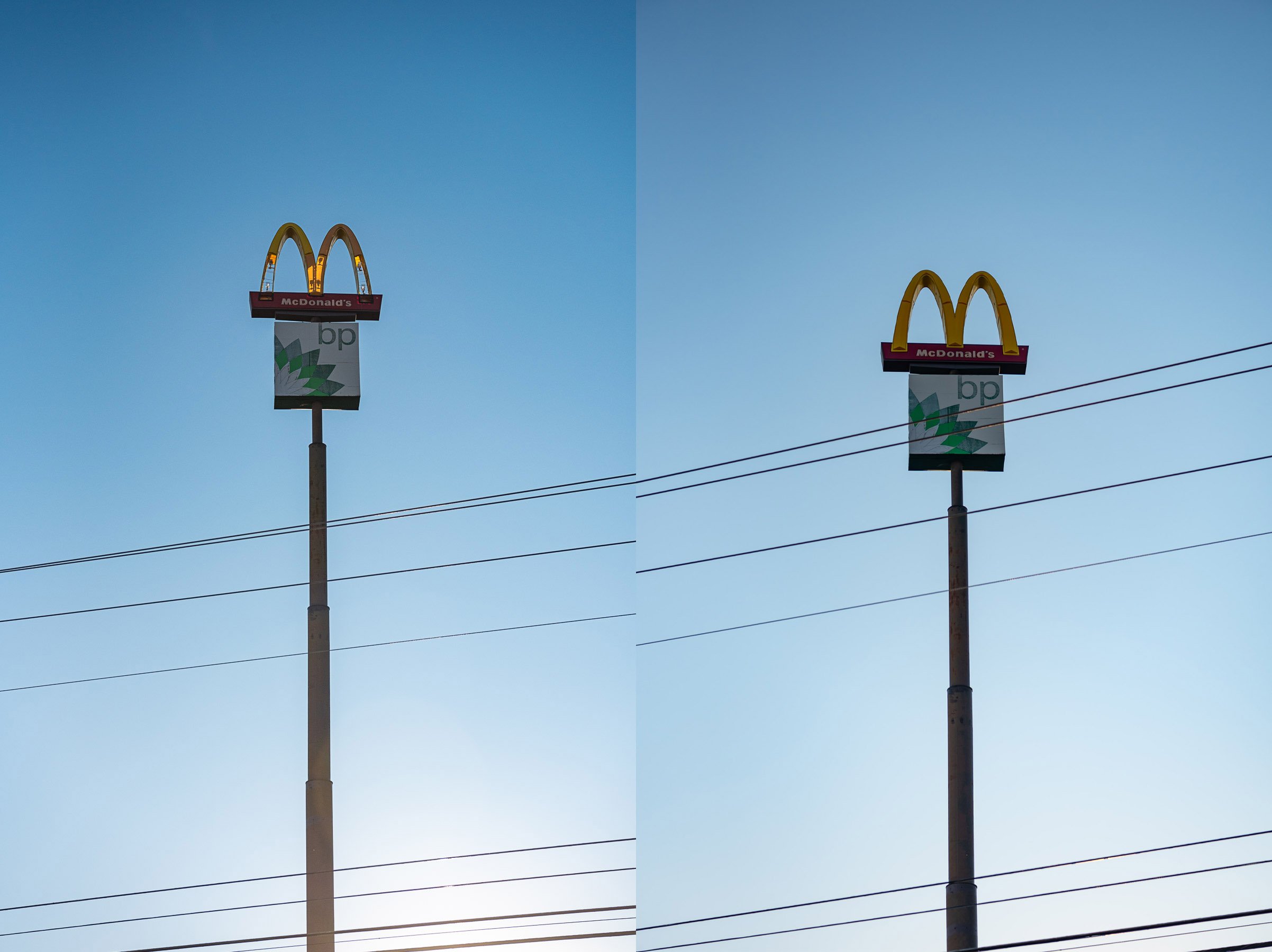
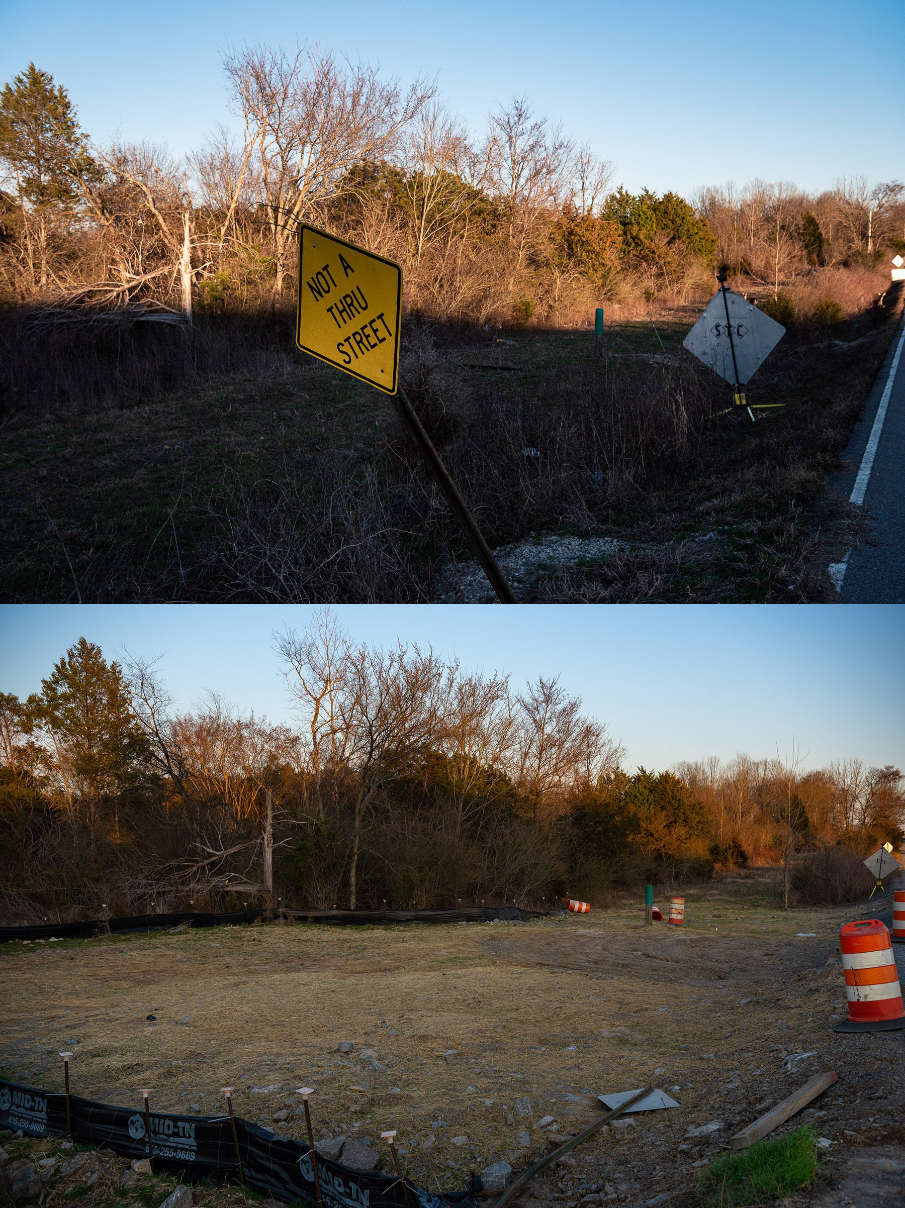
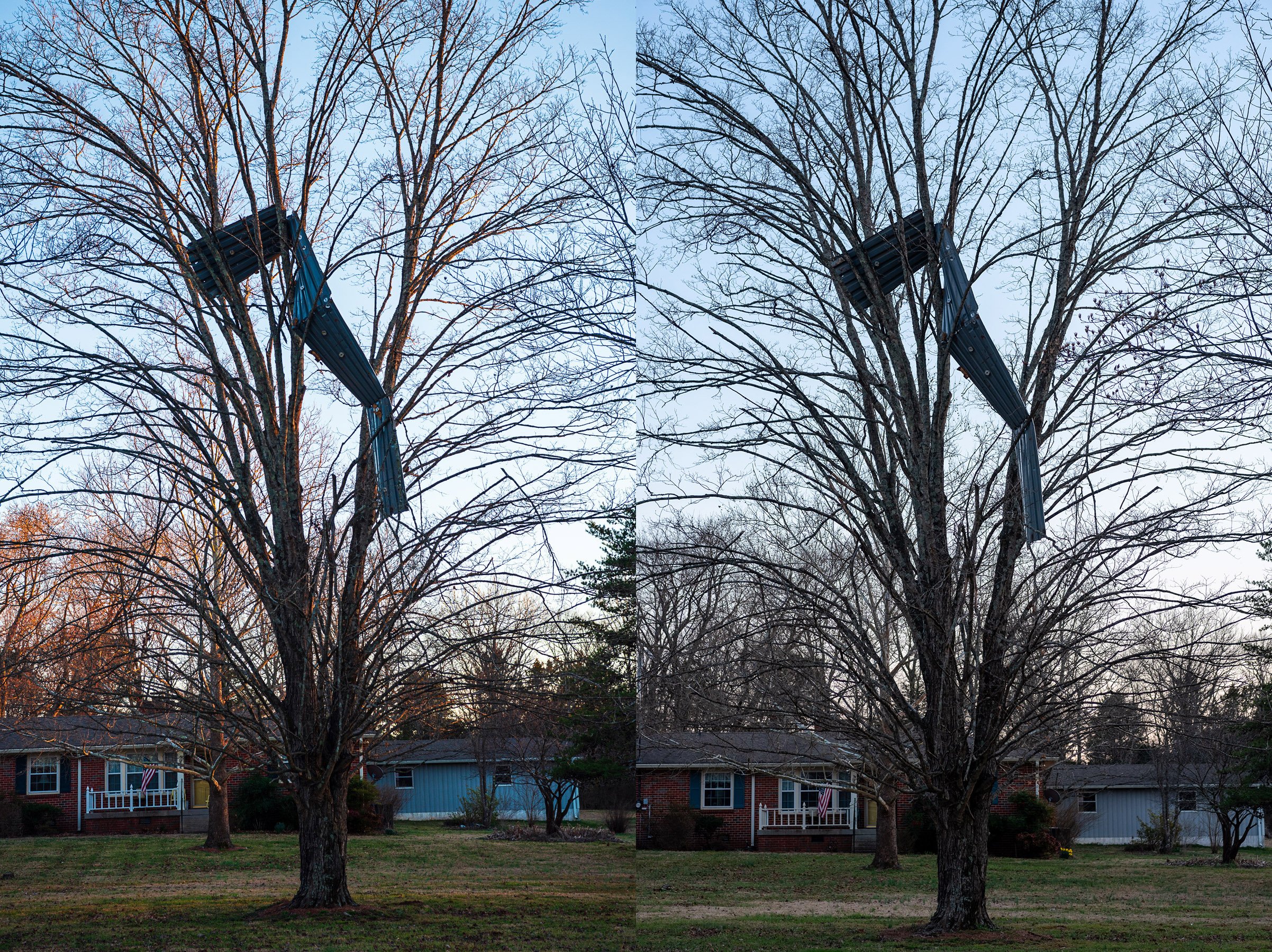
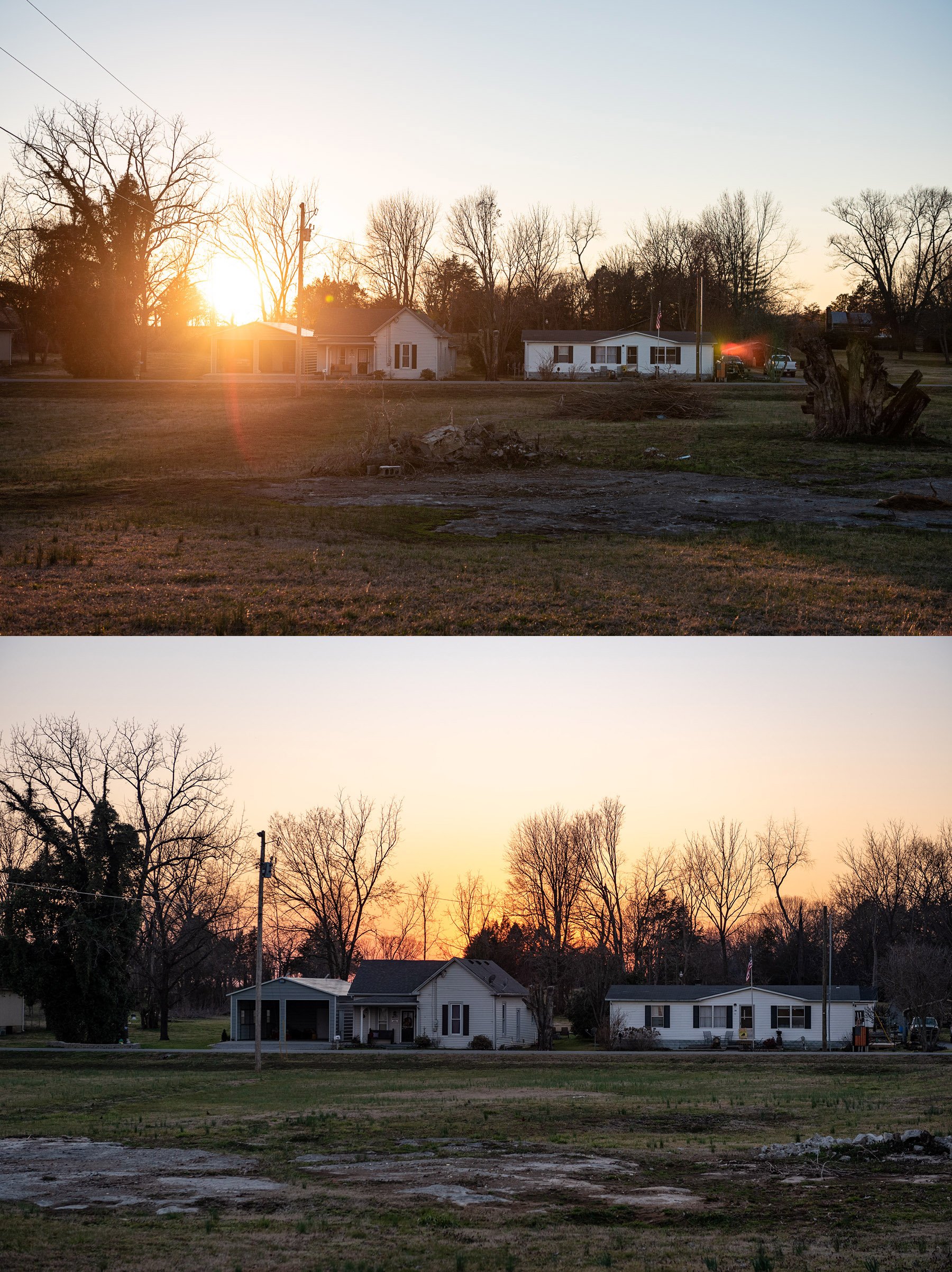
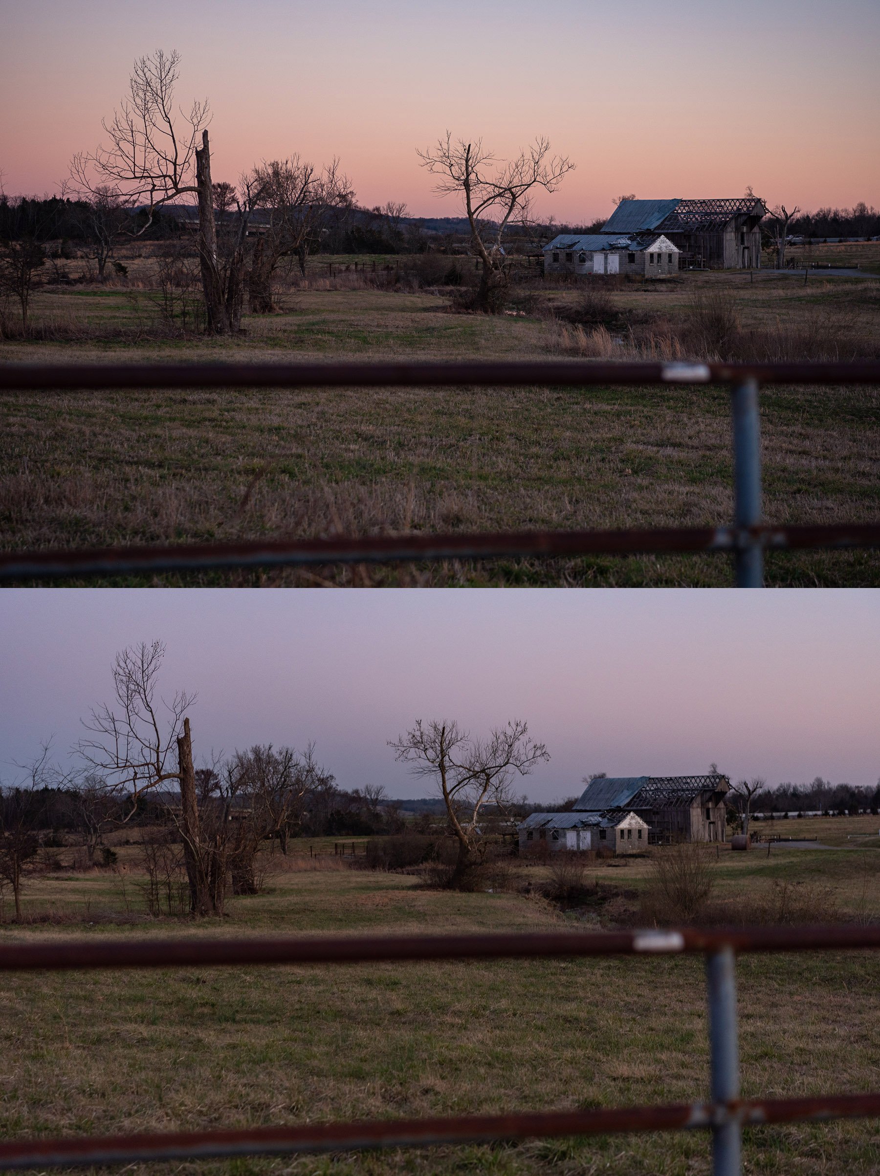
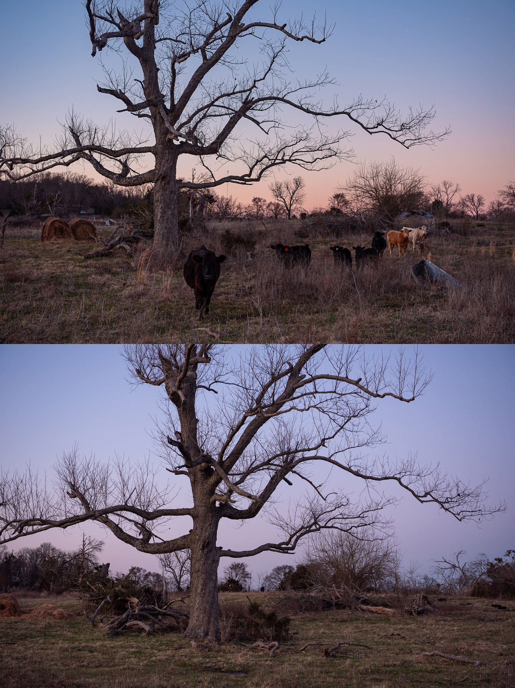
Exactly one year later, On March 3, 2021, I embarked on a photo series documenting the path of the 2020 tornado through Middle Tennessee. I began the photoshoot just after sunrise near John C. Tune Airport at what appeared to be the former site of a large warehouse on Cockrill Bend Industrial Rd. Using GPS and physical markers (evidence of impacts) I followed the path of the Tornado through Nashville to Lebanon for the next 12 hours. The last photo was taken at sunset on a seemingly abandoned farm off Tuckers Gap Rd, that was until a family of cattle came out from behind the trees to greet me.
The initial idea was to commemorate the date by putting myself in the places where the tornado tore through. The sites I visited and people I met along the way showed me first hand how varied peoples experiences were and disproportionate the recovery has been from house to house and neighborhood to neighborhood, one year later.
This series of work was exhibited at the Bordeaux branch library during the 2 year mark of the Tornado. I also embarked on a second photo journey on March 3, 2022, to document the sites I visited the year prior.